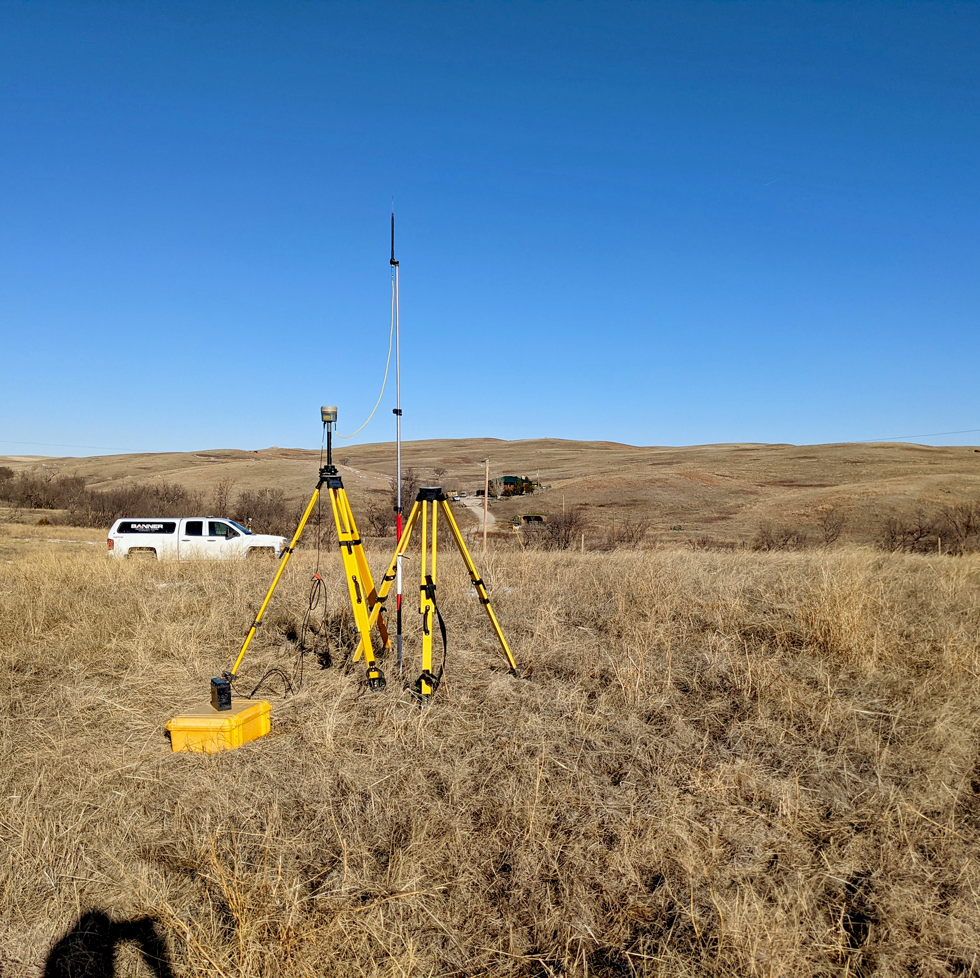
Services & Expertise
Core Surveying & Land Title Services:
- ALTA/NSPS Land Title Surveys
- Boundary & Cadastral Surveys
- Subdivision Platting & Easement Drafting
- Legal Descriptions & Title Review
- Right-Of-Way (ROW) & Acquisition Mapping
Engineering & Design Surveys:
- Topographic & Site Design Surveys
- Geodetic & Project Control Surveys
- Utility Routing & Transmission Surveys
- Drainage & Hydraulic Surveys
- Bathymetric & Hydrographic Surveys
Advanced Technology & Reality Capture:
- Terrestrial & Aerial LiDAR Scanning
- 3D Laser Scanning & SLAM Technology
- Drone Aerial Photogrammetry & Orthophotography
- Advanced LiDAR Utility Inspections
- UAV Site Inspections & OpenSpace Capture
- GIS Data Collection & Asset Mapping
Construction & Site Monitoring:
- Construction Staking & Site Layout
- Earthwork & Volumetric Surveys (cut/fill calculations and stockpile measurements)
- As-Built & Record Drawing Surveys
- Deformation & Settlement Monitoring (Foundation settlement, structural shifts, railroad monitoring)
- Site Progress Monitoring (Recurring UAV flights for project tracking)
Specialized Certification Surveys:
- Telecommunication Facility Surveys
- FAA 1A & 2C Aeronautical Certification Surveys


